Walking route through the 'Brabant Sahara'
An intricate network of hiking nodes allows you to walk the most beautiful trails in National Park De Loonse en Drunense Duinen, such as this eight-kilometer hiking trail from Nature Gate De Drie Linden in Loon op Zand. Simply follow the node numbers on the posts from one numbered node to another. The route leads you mainly on forest paths, from where you look out over the sandy plains and heathland. Feel free to get off the trail for a while and explore the sand flats.
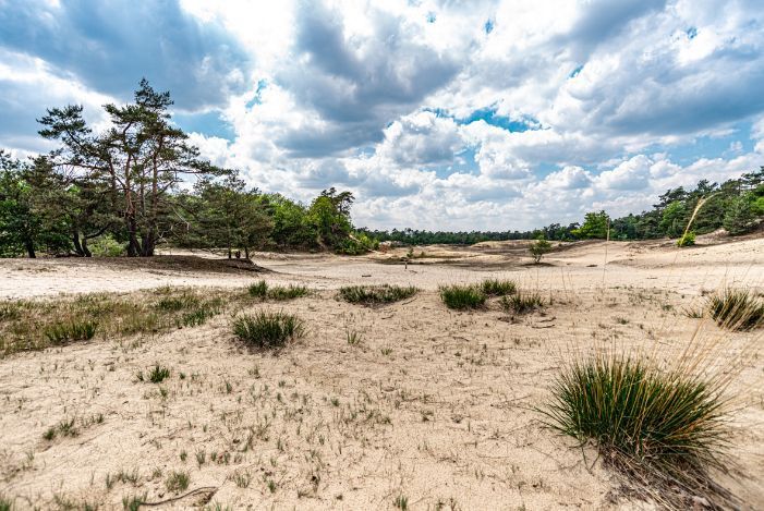
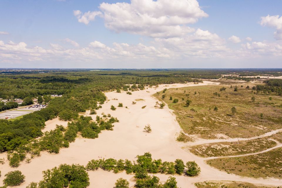
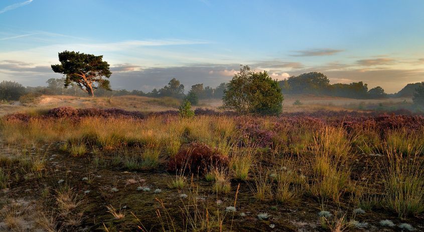
De Loonse en Drunense Duinen is over 7,000 soccer fields in size. You will find huge sandy plains, water bodies, purple moors and vast forests here. It is one of the largest areas of drifting sand in Western Europe. The wind can blow undisturbed across the sand plains, creating an ever-changing landscape. That, along with the changing of the seasons, make for a unique experience on every visit.
You are going to see this
5151 RG Drunen
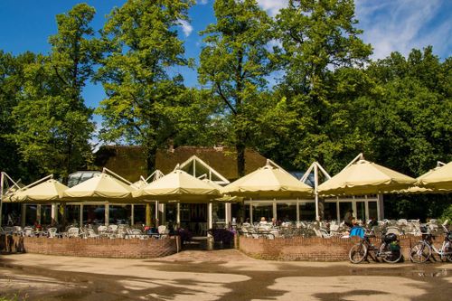
Hotel-Restaurant Duinrand Drunen (info point)
Steegerf 25151 RB Drunen

Eatery De Rustende Jager (info point)
Oude Bosschebaan 115074 RC Biezenmortel
5151 RG Drunen
Description
5151 RG Drunen
- The route is completely plotted based on the walking junction network. Simply follow the node numbers on the posts, from one numbered node to the next. You can also download the gpx file and walk the route using your smartphone or navigation system.
5151 RG Drunen
- 91
- 99
- 78
- 97
- 79
- 35
- 34
- 83
- 82
- 81
- 96
- 95
- 87
- 92
- 90