Fortress to fortress route; Geertruidenberg - Heusden
This 62 kilometer long bike route is great for e-bikers, but certainly also for cyclists on road bikes (note: part gravel paths). On the Halve Zolenpad from Geertruidenberg to Drunen and from the fortified town of Heusden back to Geertruidenberg you keep going straight over well paved paths. Along the way you will encounter many beautiful things.
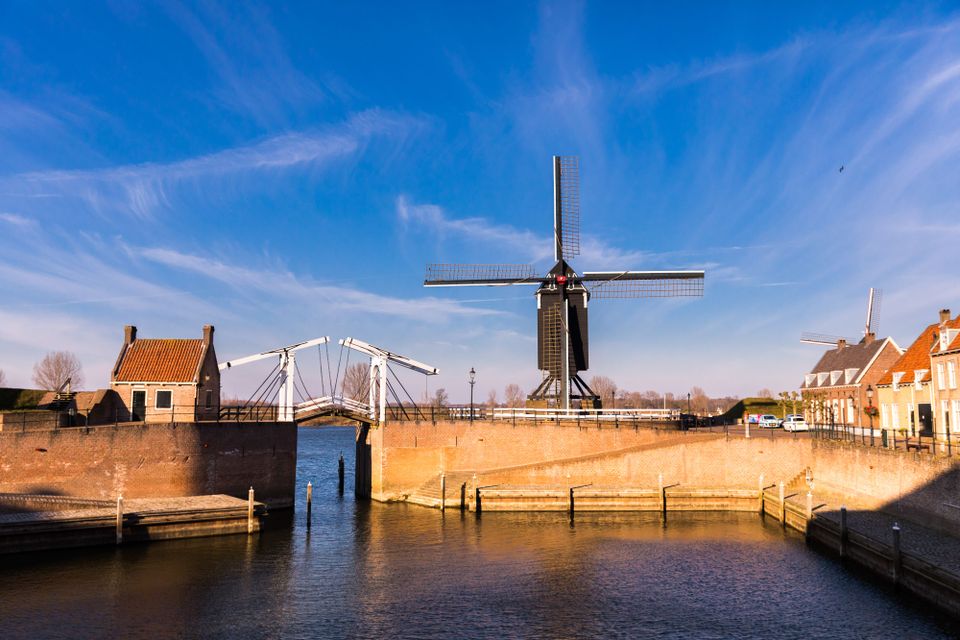
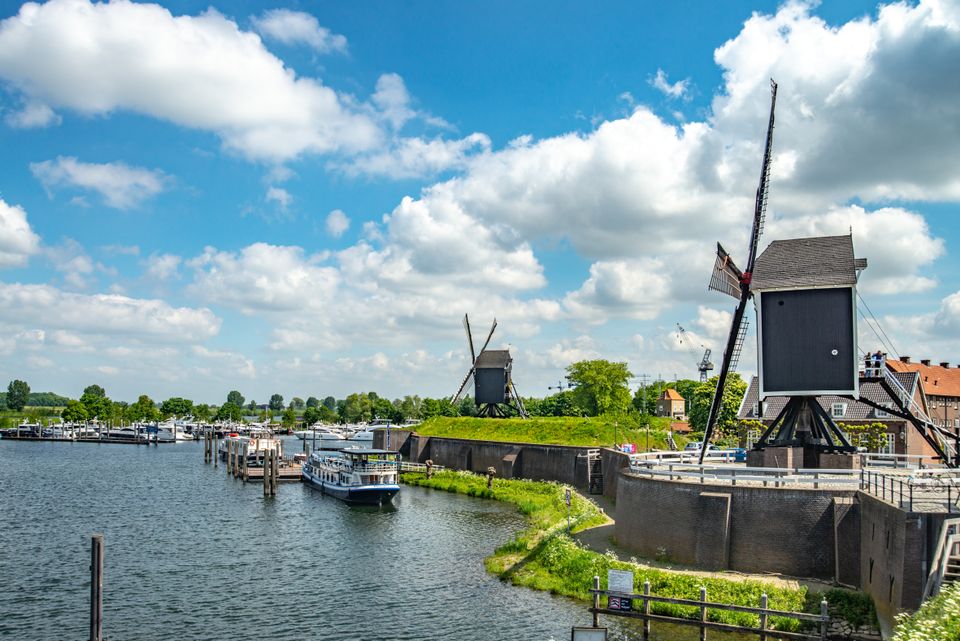
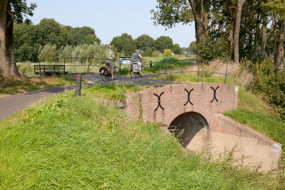
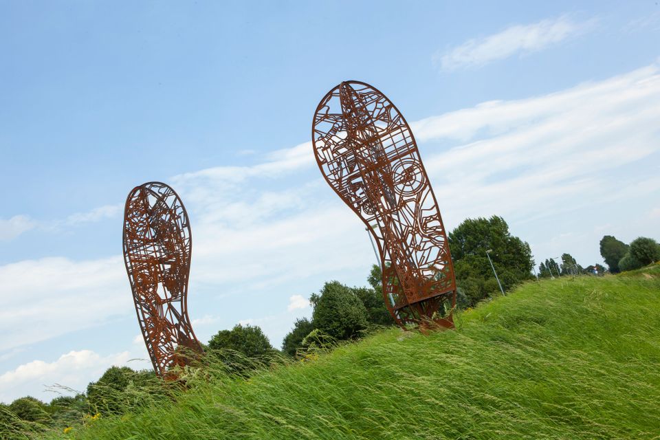
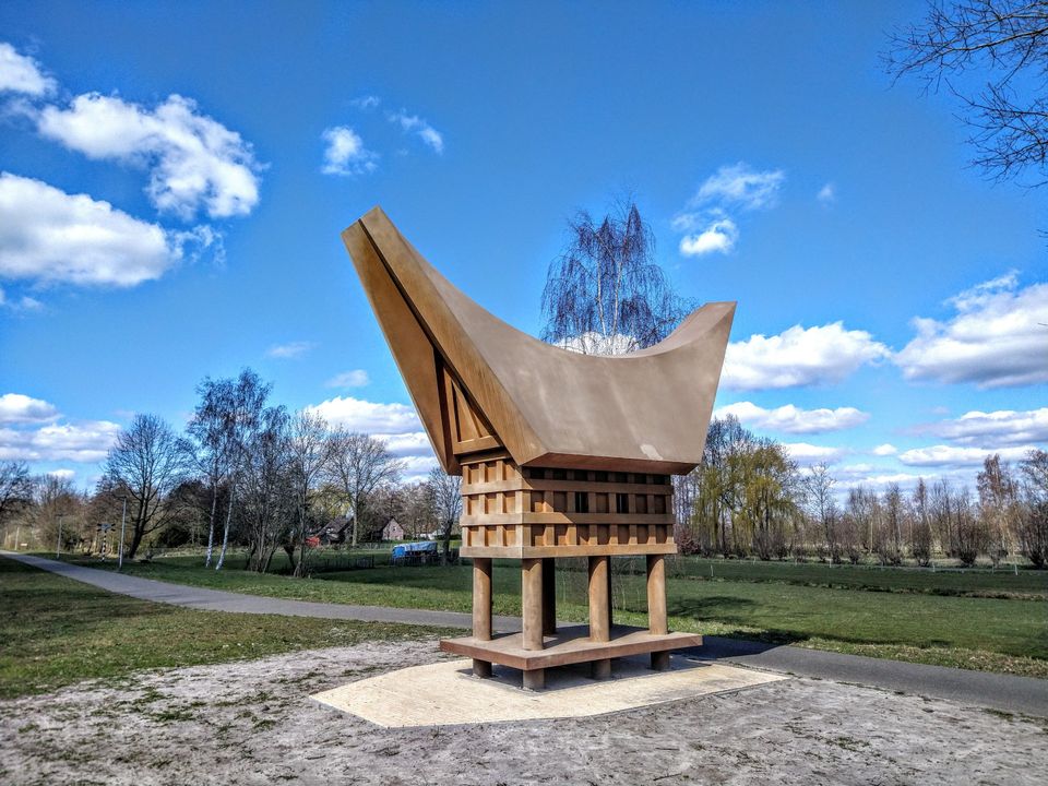
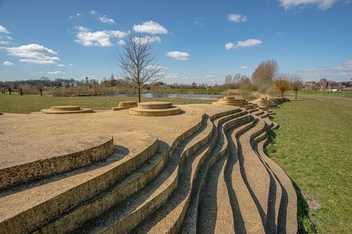
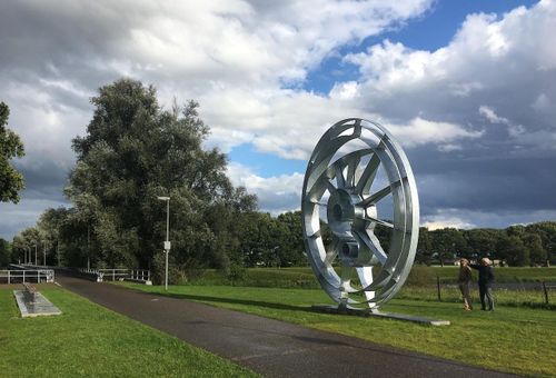
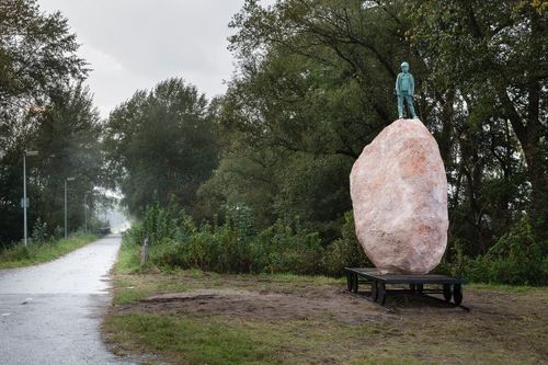
You start your bike tour at the corner Stationsweg/Walgang in fortified Geertruidenberg. Soon you will ride over the former Halve Zolen railroad, named after the leather products that were transported there from the end of the 19th century. Today, the railroad serves as a bicycle path. The path of over 20 kilometers runs from Geertruidenberg to Drunen. Along the way you pass five impressive works of art (FOOTPRINT, Ode aan de zandrug, Koffijhuis, Het Wiel and On top of the world), which tell the story of De Langstraat and railroad.
You ride...
This 62 kilometer long bike route is great for e-bikers, but certainly also for cyclists on road bikes (note: part gravel paths). On the Halve Zolenpad from Geertruidenberg to Drunen and from the fortified town of Heusden back to Geertruidenberg you keep going straight over well paved paths. Along the way you will encounter many beautiful things.
You start your bike tour at the corner Stationsweg/Walgang in fortified Geertruidenberg. Soon you will ride over the former Halve Zolen railroad line, named after the leather products that were transported there from the end of the 19th century. Today, the railroad serves as a bicycle path. The path of over 20 kilometers runs from Geertruidenberg to Drunen. Along the way you pass five impressive works of art (FOOTPRINT, Ode aan de zandrug, Koffijhuis, Het Wiel and On top of the world), which tell the story of De Langstraat and railroad.
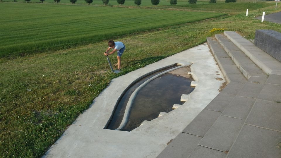
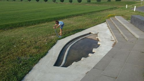
You then drive along the beautiful Elshoutse Zeedijk. This dike winds past sixteen wheels (pools) created by dike breaches. The dike was built as protection against the rising waters of the Meuse and the Baardwijkse Overlaat. Later, as part of the Stelling van Heusden and Zuiderwaterlinie, the dike was also used to defend against enemies from the south.
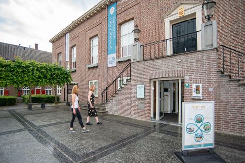
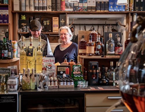
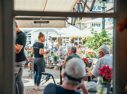
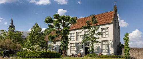
The route brings you to fortified town of Heusden; a nice place to dismount and take advantage of the many catering establishments. In the visitor center of Heusden there is a Tourist Information Point, where hospitable volunteers are happy to tell you more about what you can see and do in region De Langstraat.
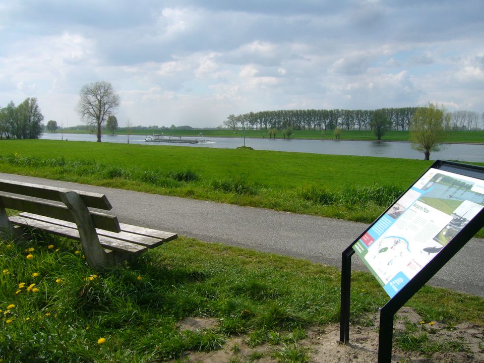
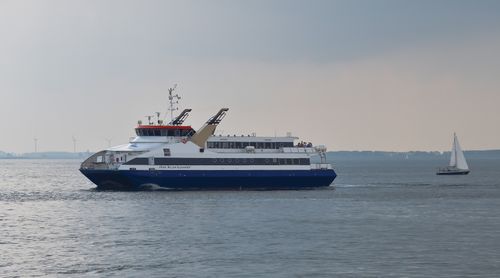
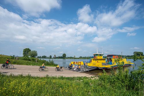
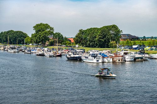
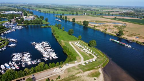
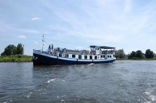
Via the Bernse Veer you then cross the Bergsche Maas (which was dug between 1888 and 1904) free of charge and via the Drongelense Veer further on you come south of the river again. For current sailing times check the Bergsche Maasveren website.
In times of extreme high water, the Bergsche Maas is a threat to villages and towns along the river from Geertruidenberg to 's Hertogenbosch. Brabantse Delta Water Board, government and residents have worked together to create room for the river in the Overdiepse Polder to prevent flooding. The farms in this area are placed on mounds.
You end the route after 62 kilometers back in Geertruidenberg.
You are going to see this


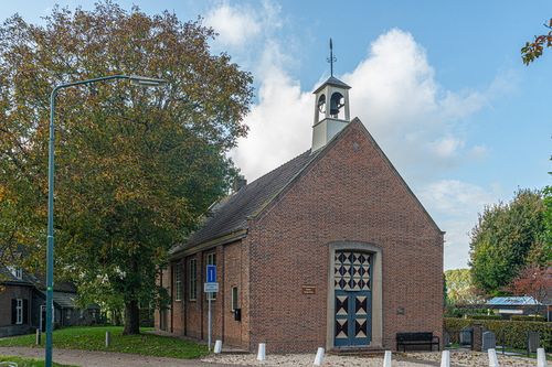
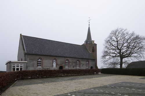
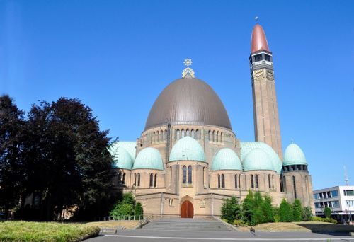
Nederlands Hervormde Kerk Doeveren
Dorpsstraat 95256 PH Doeveren
Tourist Information Point (TIP) Heusden
Pelsestraat 175256 AT Heusden
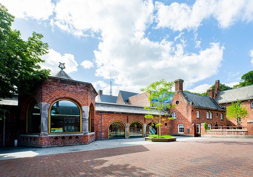
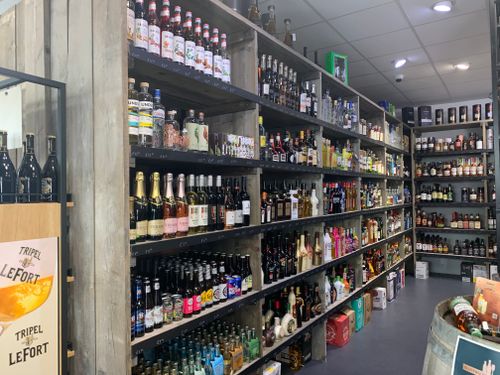
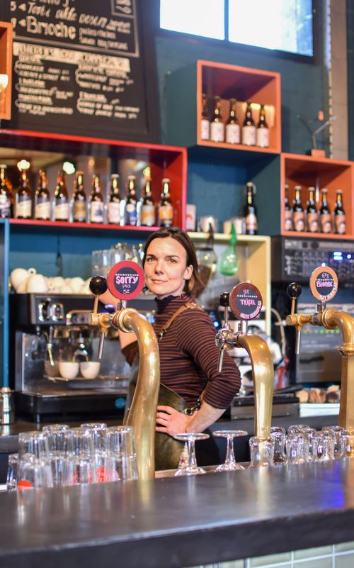
BOEI35; restaurant, rentals and events
Putterstraat 925256 AP Heusden

Schoenenkwartier: museum, shoe lab and knowledge center
Raadhuisplein 15141 KG Waalwijk
Tourist Information Point (TIP) Waalwijk
Raadhuisplein 15141 KG Waalwijk
Description
- The route is completely plotted based on the bicycle junction network. Simply follow the node numbers on the posts, from one numbered node to another. You can also download the gpx file and cycle the route using your smartphone or navigation system.
- 42
- 24
- 31
- 12
- 13
- 16
- 45
- 17
- 44
- 10
- 15
- 14
- 91
- 92
- 70
- 87
- 05
- 04
- 84
- 85
- 01
- 82
- 81
- 37
- 97
- 60
- 58
- 59
- 07
- 02
- 36
- 75
- 35
- 24
- 42