Zuiderwaterlinie Hiking trail
This route takes you along the Zuidwaterlinie. The Zuiderwaterlinie is the oldest, longest and most used of all the Dutch water lines.
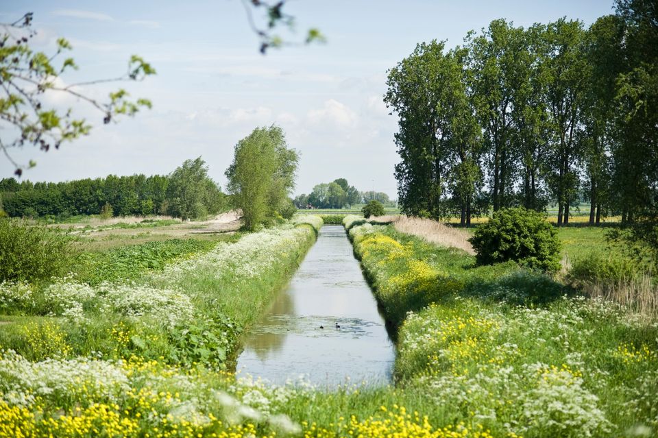
The route takes you past many natural areas. This includes the Langstraat nature reserve. The Langstraat nature reserve lies on the transition from sand to clay, called the "Naad van Brabant". The Westelijke Langstraat is a protected Natura-2000 area and valuable landscape with a lot of nature and cultural history. The unique location with different soil layers make the Western Langstraat a unique and wet area.
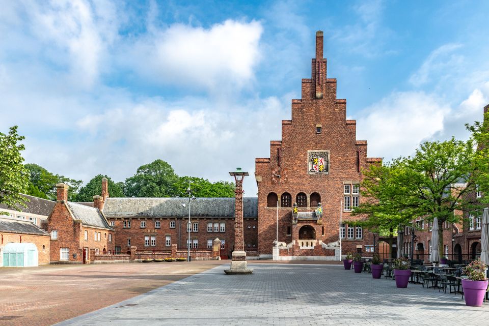
The route then leads you to Waalwijk and takes you through the center of this diverse city. Through the Baardwijkse Overlaat you walk towards the Bergsche Maas...
This route takes you along the Zuidwaterlinie. The Zuiderwaterlinie is the oldest, longest and most used of all the Dutch water lines.
The route takes you past many natural areas. This includes the Langstraat nature reserve. The Langstraat nature reserve lies on the transition from sand to clay, called the "Naad van Brabant". The Westelijke Langstraat is a protected Natura-2000 area and valuable landscape with a lot of nature and cultural history. The unique location with different soil layers make the Western Langstraat a unique and wet area.
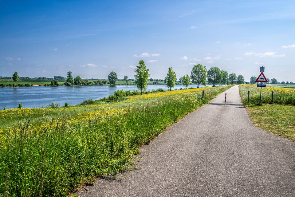
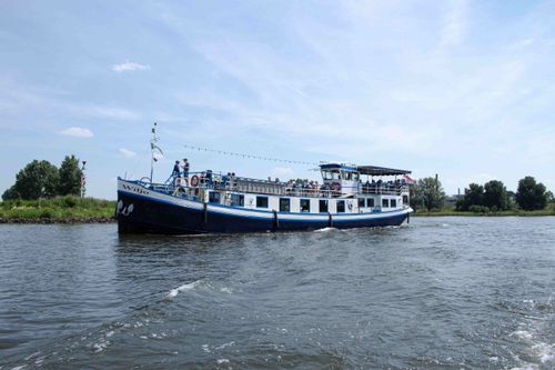
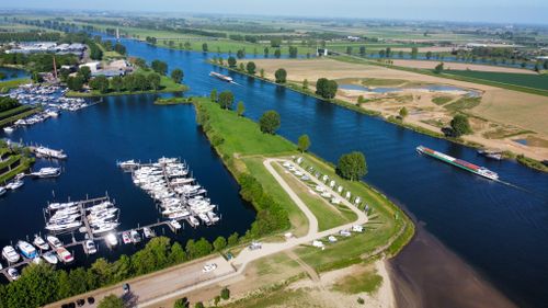
The route then leads you to Waalwijk and takes you through the center of this diverse city. Through the Baardwijkse Overlaat you walk towards the Bergsche Maas. The Baardewijkse Overlaat is a nature reserve of over 48 hectares. The area was originally used to hold the water of the Meuse during high water. You walk further along the Bergsche Maas. The Bergsche Maas is a 24.5 kilometer long dug up river.
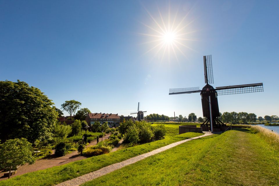
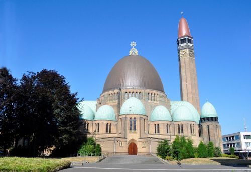
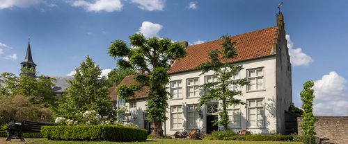
Then you will arrive in the fortified town of Heusden. Heusden grew up around one of the oldest moated castles in northwestern Europe and was one of the first Dutch towns to receive a city wall. Thanks to restorations, much of the old Heusden can still be admired.
You end the route at Engelermeer. The nature reserve area at Engelermeer includes the remnants of a duck decoy, open water, pocket forest, peat moss-poor reed bed and cultivated land. The duck decoy is in use as a counting and ringing station and resting area for waterfowl.
You can also walk this route in stages! Then you walk stage 10 or stage 11. For more information about the Zuiderwaterliniepad click here.
You are going to see this
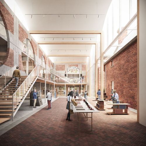
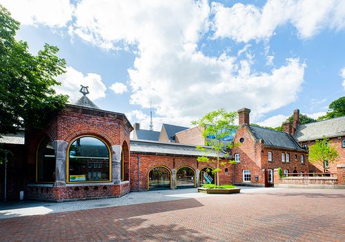
Schoenenkwartier: museum, shoe lab and knowledge center
Raadhuisplein 15141 KG Waalwijk
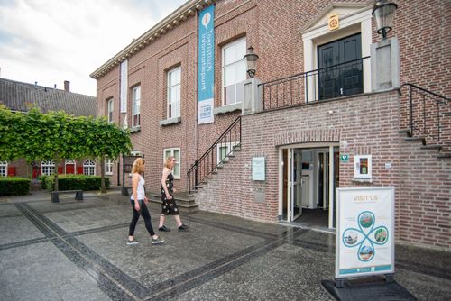
Tourist Information Point (TIP) Waalwijk
Raadhuisplein 15141 KG Waalwijk

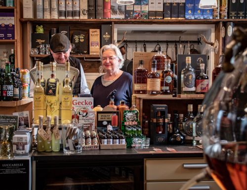
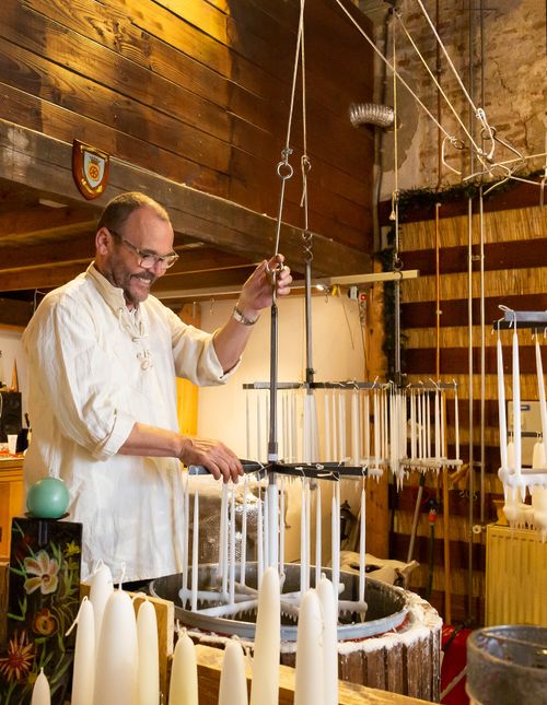
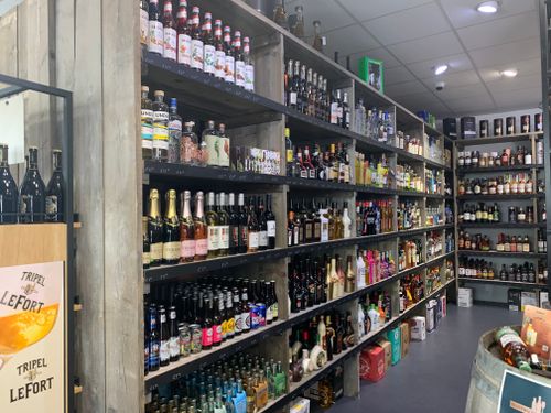
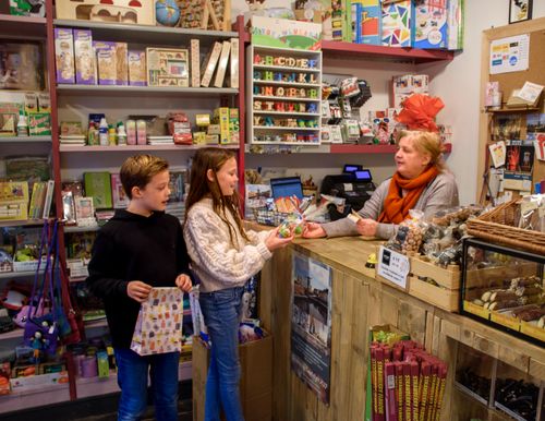
Mountain & Burr candy and toy store
Nieuwstraat 75256 BB Heusden
Tourist Information Point (TIP) Heusden
Pelsestraat 175256 AT Heusden
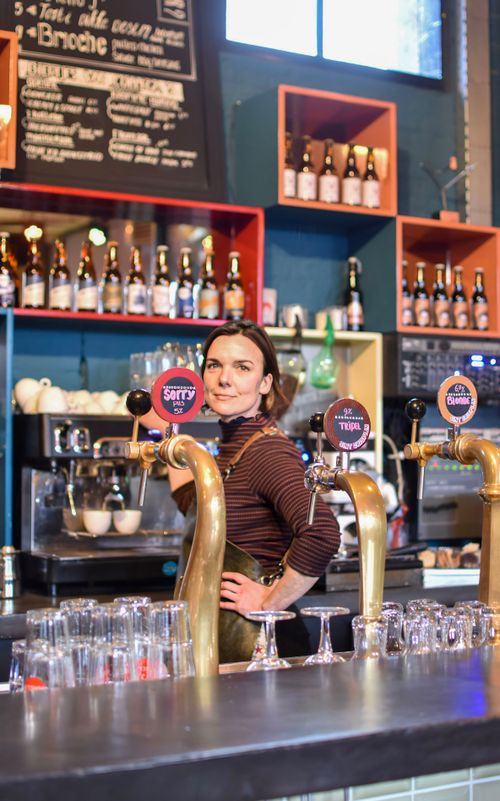
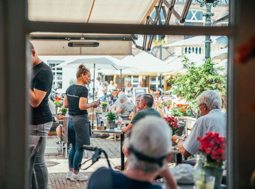
BOEI35; restaurant, rentals and events
Putterstraat 925256 AP Heusden
Description
- The route is completely plotted based on the walking junction network. Simply follow the node numbers on the posts, from one numbered node to the next. You can also download the gpx file and walk the route using your smartphone or navigation system.
- 18
- 86
- 87
- 39
- 38
- 49
- 52
- 51
- 53
- 54
- 64
- 63
- 56
- 60
- 72
- 76
- 90
- 77
- 18
- 75
- 31
- 10
- 22
- 20
- 23
- 25
- 26
- 75
- 63
- 38
- 39
- 65
- 64
- 76
- 75
- 31
- 70
- 74
- 76
- 86
- 85
- 80b
- 80
- 50
- 57
- 52
- 51
- 53
- 57
- 80
- 40
- 82
- 41
- 43
- 42
- 67
- 66
- 65
- 64
- 70
- 73
- 72
- 34
- 30
- 22